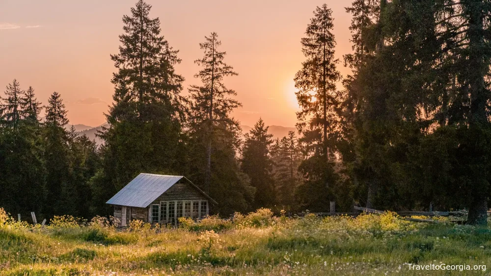
The Landscapes of Georgia
Geography of Georgia
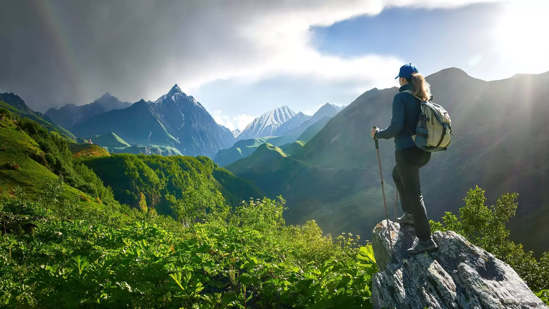
Georgia is a small yet breathtaking country, blessed with a diverse natural landscape and a generally mild climate, perfectly situated at the intersection of Europe and Asia. To the north, the towering Greater Caucasus Mountains rise with glaciers and rugged peaks, while the Lesser Caucasus Range stretches along the south, framing the country with gentle hills and volcanic formations.
On the east, the fertile Alazani River Valley stretches toward Azerbaijan, while the Black Sea kisses Georgia’s western coast, connecting it to Europe and shaping its unique climate and maritime culture. The variety of landscapes is astonishing — on a single summer day, travelers can sunbathe along the warm Black Sea beaches in the morning and reach the icy glaciers of Svaneti within just a few hours’ drive.
Borders and Geographic Center
Georgia shares its land borders with four countries: the Russian Federation to the north, Armenia and Turkey to the south, and Azerbaijan to the east and southeast. Its geographic center is considered to be the village of Khevi, located amid forested mountains in the Kharagauli area.
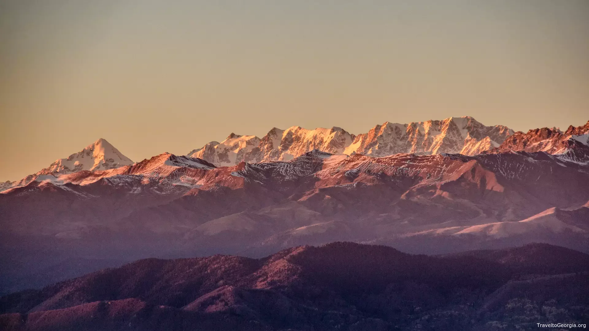
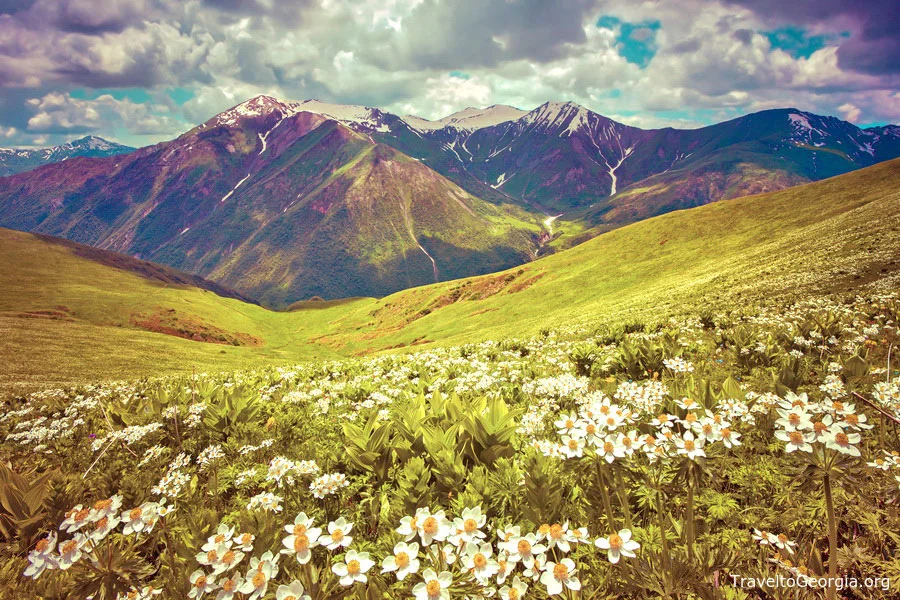
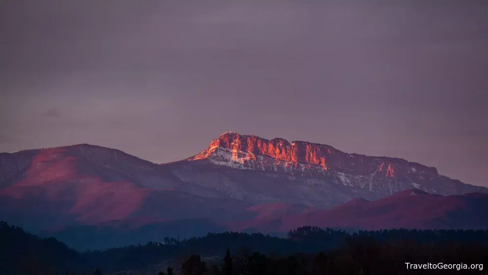
Mountains of Georgia
Mountains cover roughly one-third of Georgia’s territory, offering a playground for adventurers, hikers, and climbers alike. The Greater Caucasus Range includes some of the tallest and most challenging peaks in Europe:
-
Shkhara – 5,203 meters, one of the continent’s most formidable climbs
-
Kazbegi – 5,054 meters
-
Janga – 5,078 meters
-
Tetnuldi – 4,852 meters
-
Ushba – 4,700 meters
The Lesser Caucasus Range, in contrast, is lower in elevation, with Abuli (3,301 meters) as its highest point. These mountain ranges create natural barriers and microclimates that give Georgia its remarkable climatic and ecological diversity.
Climate Diversity
Despite its modest size, Georgia hosts nearly every type of climate within a subtropical zone: from humid subtropical and moderately humid to moderately dry and continental. The Caucasus Mountains and the Black Sea create natural divisions that result in drastically different weather conditions over short distances.
-
Western lowlands experience a humid, subtropical climate
-
Eastern plains are drier and warmer
-
Mountain regions exhibit alpine conditions, with snow-fed rivers and glaciers
Travelers can experience a complete range of climates — from lush subtropical forests to snowy peaks — in a matter of hours.
Land Area and Extreme Points
Georgia covers an area of 69,700 square kilometers. Its extreme points include:
-
North: Aibga, near the Psou River in Abkhazia
-
South: Okuzdaghi Mountain, bordering Armenia
-
West: Leselidze village, along the Black Sea coast
-
East: Confluence of the Alazani and Agrichai Rivers
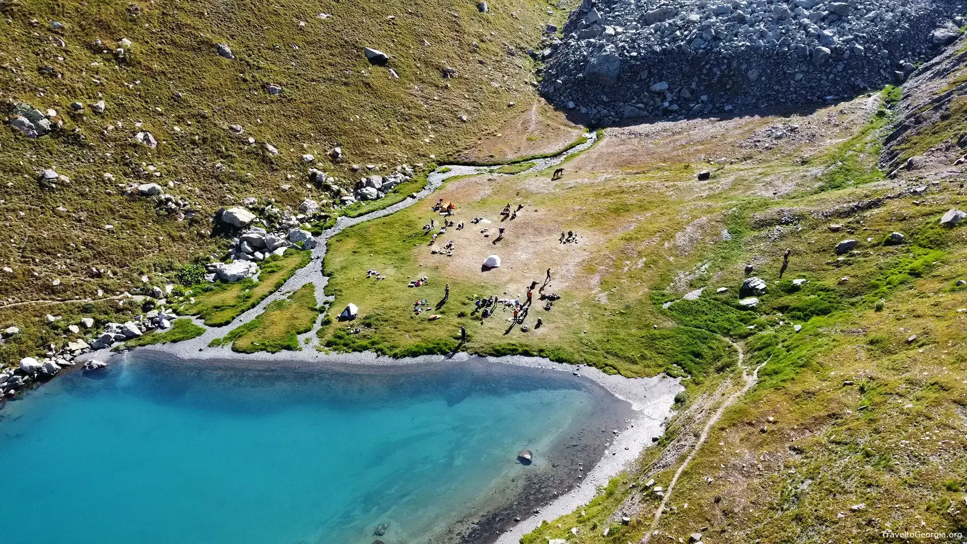
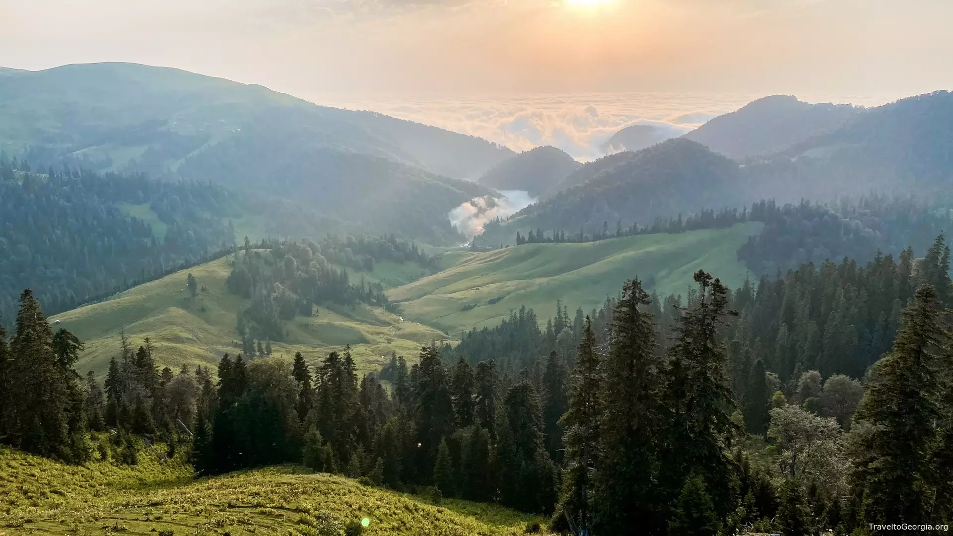
Rivers, Lakes, and Waterfalls
Georgia is one of Europe’s most water-rich countries, with around 860 lakes, over 26,000 rivers, and 43 artificial reservoirs. Notable reservoirs include the Enguri HPP, whose arched dam ranks among the tallest in the world.
The country’s rivers are abundant and diverse:
-
Western rivers (over 75% of total) flow into the Black Sea
-
Eastern rivers primarily feed into the Mtkvari, which continues to Azerbaijan and the Caspian Sea
The longest river in Georgia is the Alazani (406 km), followed by the Iori (343 km) and Rioni (327 km). The Mtkvari flows 383 km through Georgia and is the longest in the South Caucasus. Seasonal snowmelt and underground waters feed most rivers, creating excellent conditions for rafting, kayaking, and fishing. Popular rivers for water sports include the Mtkvari, Rioni, and Aragvi.
Georgia’s lakes and waterfalls are equally impressive. Most are concentrated around the Lesser Caucasus in Samtskhe-Javakheti, with Paravani Lake (37.5 km², 2,073 m above sea level) as the largest, followed by Kartsakhi Lake (26.3 km², 1,799 m). In western Georgia, Paliastomi Lake (18.2 km², below sea level) provides opportunities for boating and wildlife observation.
Significance for Wildlife
Georgia is a crucial corridor for migratory birds. Along the Black Sea coast in Ajara, over one million birds pass between August and October, making it one of Europe’s key migration sites alongside Gibraltar, Messina, and the Bosphorus. Prime birdwatching locations include Stepantsminda, the Vashlovani Protected Area, the lower stretches of the Alazani and Iori Rivers, and the Javakheti Plateau.
Georgia’s geography is a stunning mosaic of mountains, rivers, lakes, forests, and lowlands, making it one of the most diverse and captivating countries in Europe and Asia. From glaciers to subtropical beaches, and from rapid rivers to serene lakes, Georgia is a destination where nature, adventure, and culture come together like nowhere else.

Comments